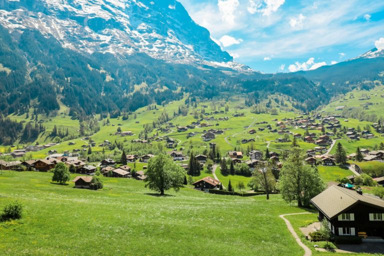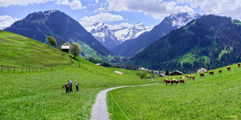
Arosa, tucked high in the canton of Graubünden, is a hidden gem for hikers in search of tranquil trails, glacial lakes, and panoramic views. Known for its sunny climate and unspoiled alpine nature, Arosa offers a rich network of hiking paths suitable for every level. Whether you’re seeking family-friendly routes, high-altitude challenges, or peaceful forest walks, this resort delivers nature at its finest.
Here’s a handpicked list of the top hikes around Arosa — complete with trail length, difficulty, starting points, and highlights to help plan your next mountain escape.
🌄 1. Arosa–Schwellisee–Älplisee Loop
⏱️ Duration: 3–4 hours
🧭 Difficulty: Moderate
📍 Starting point: Arosa village or Prätschli
Description: A scenic loop that links two of the region’s most photogenic lakes: Schwellisee and Älplisee. The trail leads through alpine pastures and offers sweeping views of the Plessur mountains. Both lakes are perfect for a picnic or a refreshing break.
🌲 2. Squirrel Trail (Eichhörnliweg)
⏱️ Duration: 45 minutes to 1 hour
🧭 Difficulty: Easy
📍 Starting point: Obersee lake, Arosa
Description: A family favorite, this gentle forest walk delights younger hikers who can feed friendly squirrels along the way. Wooden bridges, small fountains, and benches make it a relaxing nature escape.
🏞️ 3. Hörnli to Urdenfürggli (via Hörnli Trail)
⏱️ Duration: 2–2.5 hours
🧭 Difficulty: Moderate
📍 Starting point: Hörnli mountain station
Description: This panoramic ridge trail offers incredible views toward Lenzerheide. Crossing the Urdenfürggli ridge, the route is part of the Arosa-Lenzerheide link, making it a popular section for alpine trekkers.
🐐 4. Prätschli–Maran–Carmennahütte
⏱️ Duration: 2.5–3 hours
🧭 Difficulty: Moderate
📍 Starting point: Prätschli or Maran
Description: Starting in peaceful alpine meadows, this trail climbs gently to the rustic Carmennahütte, which offers traditional food and drinks. On clear days, the panorama stretches across the Schanfigg valley.
🏔️ 5. Weisshorn Summit Trail
⏱️ Duration: 1.5–2 hours (descent)
🧭 Difficulty: Moderate
📍 Starting point: Weisshorn cable car summit station
Description: After taking the cable car to the 2,653-meter Weisshorn, hikers descend on a zigzagging path with open views over the valleys below. An ideal early morning or sunset route with unforgettable light.
🐑 6. Arosa–Litzirüti Forest Hike
⏱️ Duration: 2 hours (one way)
🧭 Difficulty: Easy to moderate
📍 Starting point: Arosa railway station
Description: This lesser-known trail leads through shady pine forests toward the village of Litzirüti. Perfect for hot summer days, with river crossings and frequent wildlife sightings along the way.
🏞️ 7. Lake Round (Obersee & Untersee Loop)
⏱️ Duration: 1 hour
🧭 Difficulty: Easy
📍 Starting point: Arosa train station
Description: A peaceful circuit around Arosa’s central lakes, ideal for morning or evening walks. Untersee features a designated swimming area, and benches around both lakes invite quiet reflection or a quick picnic.
🧳 Tips for Hiking Around Arosa
🌦️ Weather: Check the local forecast before departure. Sudden changes are common in the mountains.
🥾 Gear: Even on shorter hikes, wear sturdy shoes and bring water, sun protection, and layers.
🗺️ Maps: Trail maps are available from the Arosa Tourist Office or local hotels.
🧭 Guides: For alpine tours or wildlife treks, certified guides can be booked via Arosa Tourismus.
🚨 Safety: Stick to marked paths and let someone know your plan. In case of emergency, dial 112
Whether it’s a forest walk filled with squirrel encounters or a ridge trail with views stretching to the horizon, hiking in Arosa offers peace, beauty, and connection to nature. With trails starting right from the village and easy access via lifts and buses, it’s a destination that rewards every step.